Shimanami Kaido Cycling Guide: Route Map and Island Stops


Photo: meinen ryu / Pexels (Pexels License)
Shimanami Kaido: Ehime's mapped sightseeing ride
Mapped distance: 78.1 km. Route source checked October 07, 2026.
Interactive route hosted by Ride with GPS. The guide below remains available if the map cannot load.
Ride between Imabari and Onomichi through the islands of the Seto Inland Sea. This guide pairs a real mapped route with ideas for choosing your ride, planning rental returns and adding sightseeing stops. Start with the Shimanami Kaido destination overview if you are still deciding where to go.
Which route does the map show?
The map above is the sightseeing route embedded by Ehime's official cycling website. On 7 October 2026, the linked Ride with GPS track reported 78.1 km, while Ehime's article listed 87.7 km. Those figures differ; use the current provider track when inspecting this particular ride. It is not the same as the approximately 70 km direct crossing described by the Shimanami cycling operator.
The map is for planning, not live navigation or a check of today's road conditions. It is hosted by Ride with GPS and may change. If it does not load, open the route or official guide using the links above.
Get your bearings before riding
From the Imabari side, the island sequence toward Onomichi is Oshima, Hakatajima, Omishima, Ikuchijima, Innoshima and Mukaishima. Use this to orient yourself on the map, rather than as turn-by-turn directions. Check the operator's current cycling map for bridge approaches and the final crossing into Onomichi; a car route is not a substitute for the cycling route.
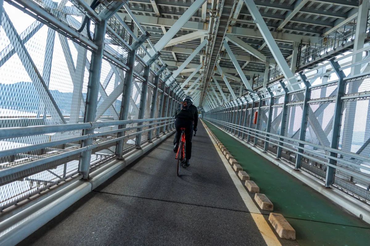
Choose your sightseeing stops
Oyamazumi Shrine on Omishima is an option for a sightseeing detour. Check how it changes your selected track and distance before committing. Imabari Castle works as a separate city visit before or after the ride. These linked destinations are ideas for your trip, not a claim that every attraction lies on the mapped track.
Plan a ride you can finish comfortably
- Decide between a full crossing and a shorter island ride before reserving a bicycle. A short ride with time to stop can be more rewarding than chasing the far terminal.
- Compare the track's elevation profile with your experience. Bridge approaches add climbing even when the coast looks flat on a map.
- For a slower trip, choose accommodation along your planned route and split the distance around your own pace, daylight and sightseeing time.
- Check the forecast, rental opening hours, bike-specific return rules and any ferry you intend to use. Leave room for delays.
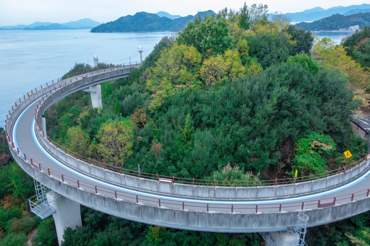
Rental bikes and current information
Use the official Shimanami rental booking site to check bicycle availability and return options. Do not assume every bicycle can be returned at a different terminal. Confirm road and service updates with the operator before departure.
Sources checked: 7 October 2026. Route: Ride with GPS 50195601, linked by Ehime's official cycling guide. Distances describe different published versions, not a freshly surveyed course.